4.5) Forests, mountains and volcanoes
¤
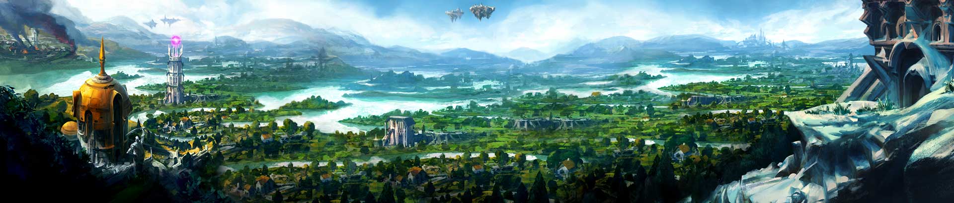
Asgarnia Forest
is the unofficial name given to a forest between Ice Mountain and Gunnarsgrunn. It's quite dense and uneven in places, making it hard to cross. It houses the ruins of the body altar and a monastery.
¤ On the northern half of the island,
Braindeath Island Volcano
may be found. It is seemingly dormant, easily scalable and has a pool of stagnant water at its summit.
¤
Eagles' Peak
is a high mountain at the northernmost end of the Galarpos range, named after the many eagles that fly around its summit. In fact, it contains a system of caves where several giant eagles have their nests. The mountain has two small pieces of swampland at its western and eastern feet while the northern side consists of a very steep slope that connects to the Piscatoris woodland.
¤ The
Feldip Hills
are the lands south of Kandarin that are inhabited by ogres and formerly goblins and skavids. The southern parts have a subtropic climate and consist of dense jungles while the northern part, which contains the actual hills, bears more of a resemblance to a swampy moor. The ogre settlements Gu'tanoth and Oo'glog are in the Feldip Hills, as is the command centre for ARMS.
¤
Mount Firewake
was a mountain somewhere on Kethsi where the 52 Grand High Mages of the conclave met. They were wiped out by Dragonkin.
¤ The
Forinthry Cliffs
are a long range of steep cliffs that separate the Troll Country from the Wilderness. A few parts are crossable, but in general the cliffs aren't very scalable.
Bizarre Boron Fusswell, scryer extraordinaire.
OSRS: POH ideas
&
RS3 minigames
&
achievement ideas
!
Perhaps you're half right; perhaps we can't win. But we can fight.
— Zanik